I am very grateful to Lode Engelen for permission to publish this on my own website. Thanks again, Lode.
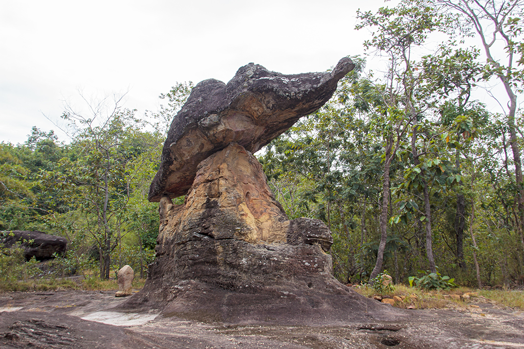
Phu Phrabat was formed millions of years ago by the erosion of sandstone layers of different hardnesses. The layers with higher hardness remained virtually intact and thus formed the top layer. Rocks with lower hardness were eroded away, creating holes and curves underneath the stronger layers. This created rock formations that could serve as shelters.
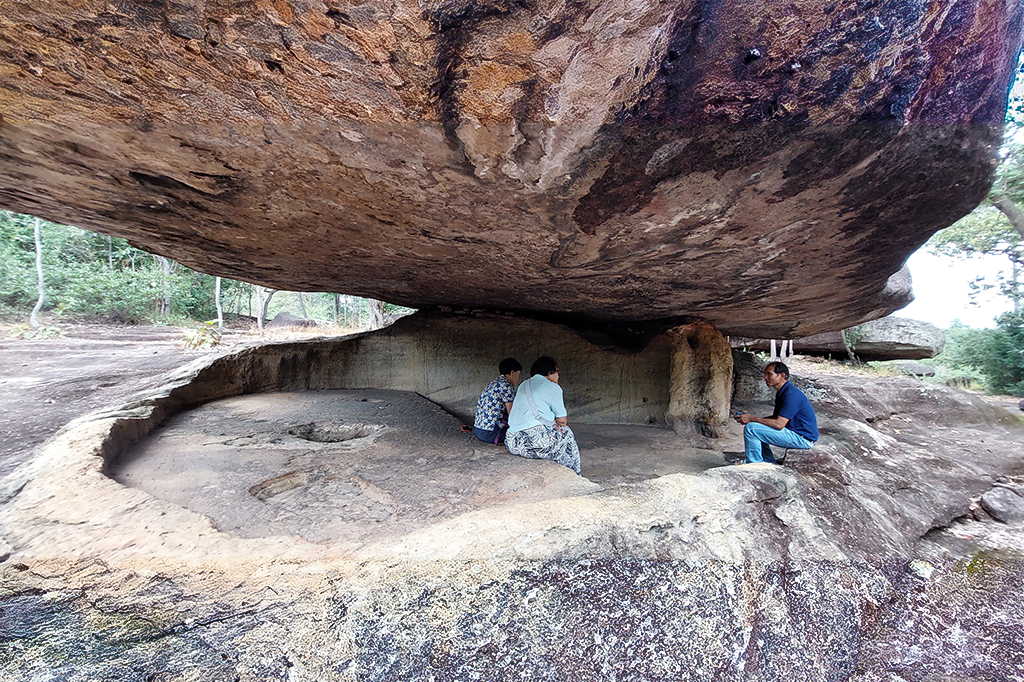
People settled on this hill about 2,600 to 3,000 years ago, likely attracted by the abundance of edible plants. They painted red rocks on the upright walls, depicting palms, animals, men and geometric figures. Some images give a picture of the living conditions of both animals and humans during that period.
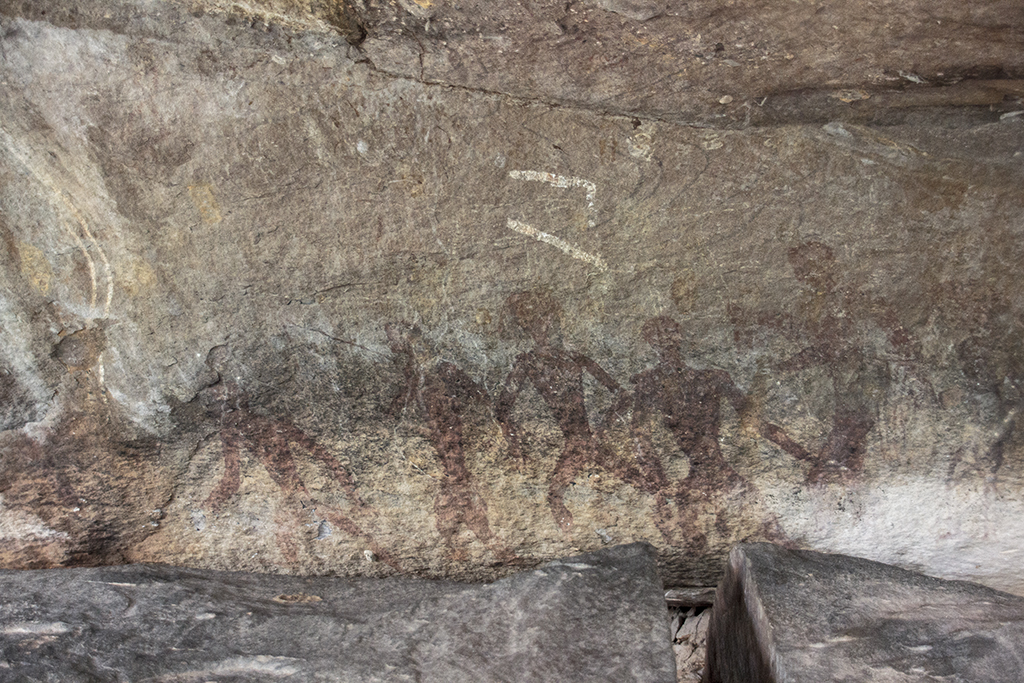
After prehistoric times, the use of Phu Phrabat changed.
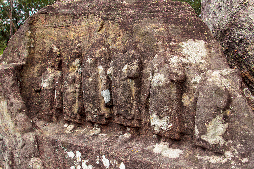
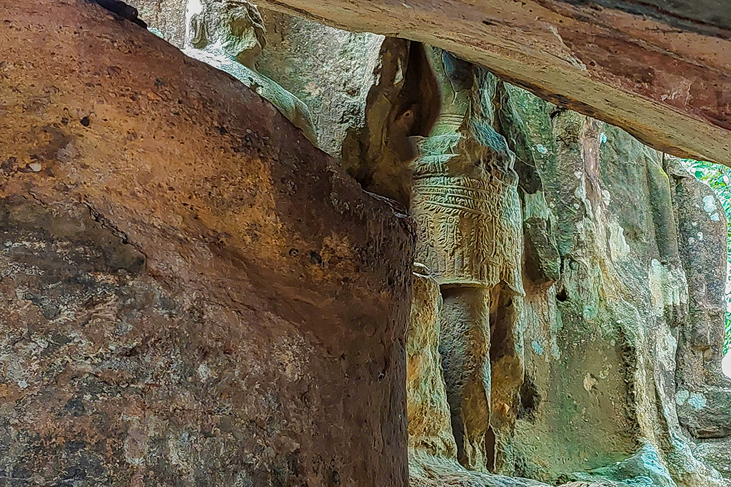
Between the 9th and 11th centuries AD, people once again took refuge in these protective rocks. During that period, the site became dedicated to Buddhist rituals, and functioned as a sacred place. Boundary stones surrounded some of the rocks, while another part probably served as a temple, with still-present Buddha statues carved out of stone. In the 17th or 18th century AD, a footprint of Buddha was added, and one of the rocks was used as a repository for a relic of Buddha.
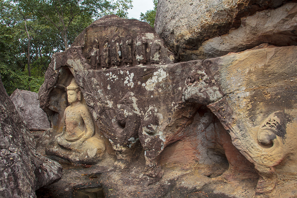
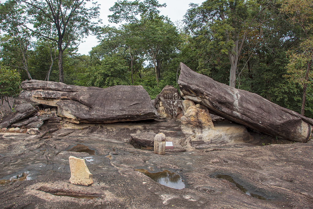
Sounding names for the rocks.
The original names of the centuries-old structures on Phu Phrabat remain unknown. The locals have given them names derived from their folklore, specifically the story of “the legend of Nang U-sa and Tao Baros“. They assume that this legend took place here and have given the structures names such as Hor Nang U-Sa, Wat Louk Koei, Kork Mah Tao Baros, Tham Ry Si, and so on. In reality, however, the discovered traces of human use on Phu Phrabat Hill have nothing to do with this folklore. All human traces on this hill are at least a thousand years older than the legend. The collection of ancient structures here is considered to be one of the largest and most important groups in the northern part of northeastern Thailand.
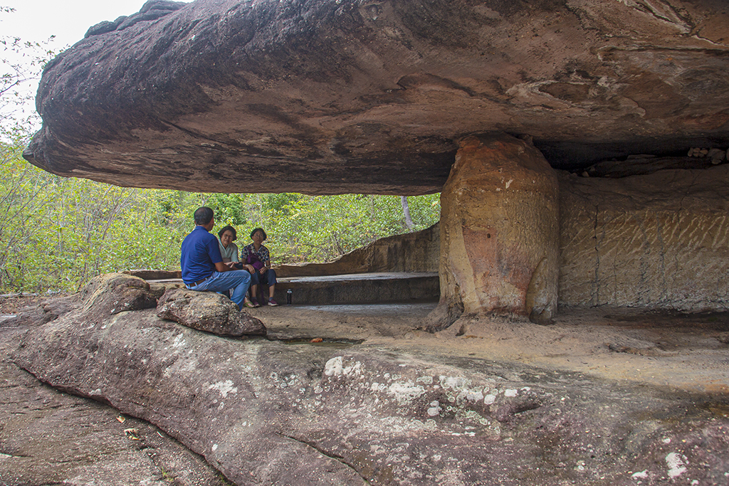
I can vividly imagine that prehistoric man used this place to sit together to discuss the next hunt.
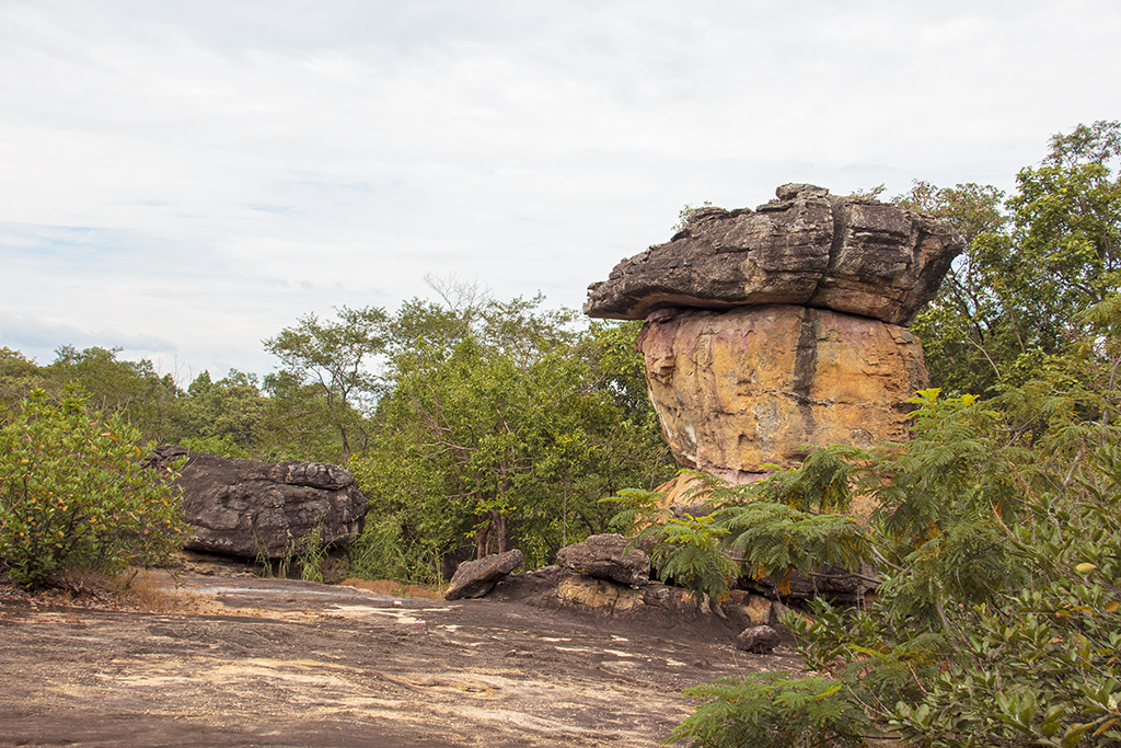
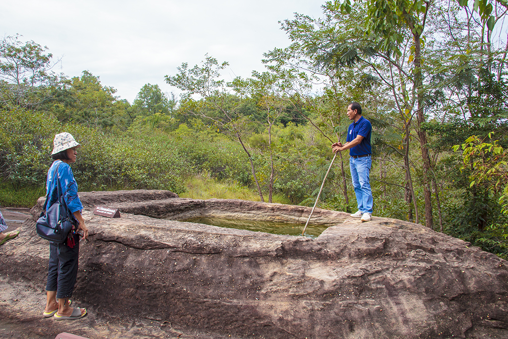
A 4 meter deep well that was used for collecting rainwater.
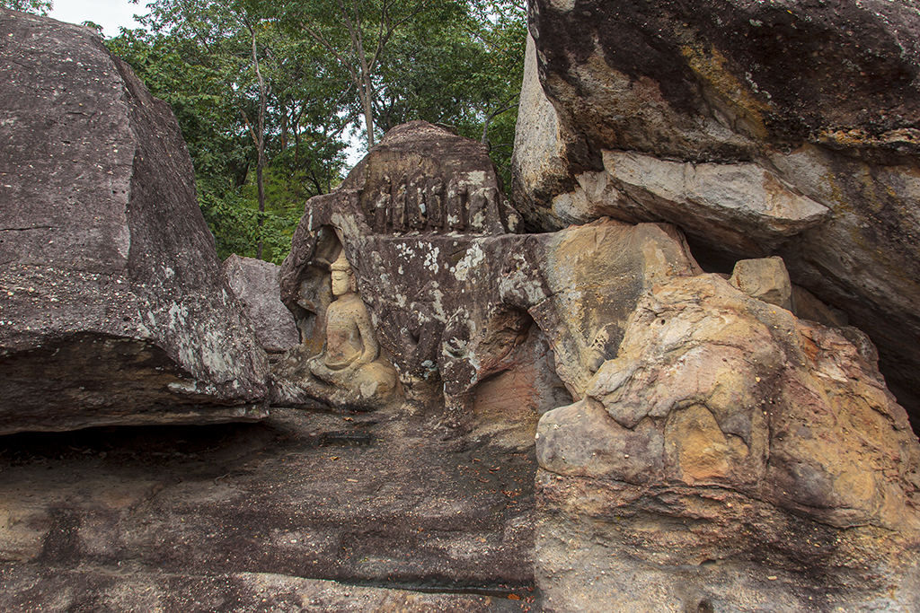
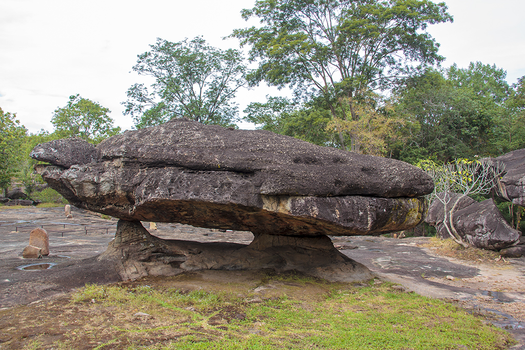
Phu Phrabat Historical Park is located on the mountain of the same name in Mueang Pan area, Ban Phue District, Udon Thani Province. It is part of the sandstone mountain range of Phu Phan. It is located on the west side of the province, at an altitude ranging from 320 to 350 meters above sea level. The surrounding landscape consists mainly of forest and is overgrown with plants from the rainforest.
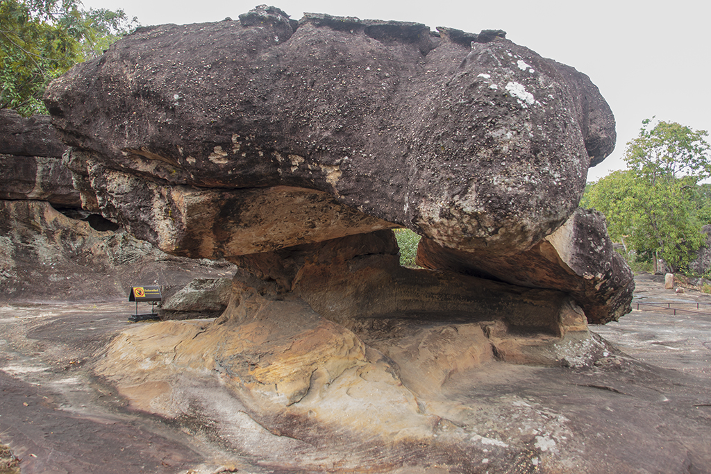
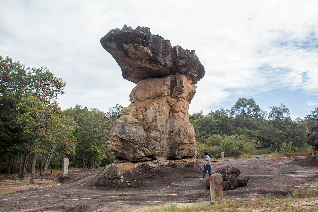
Boundary stones (Bai Sema) around the holy place.
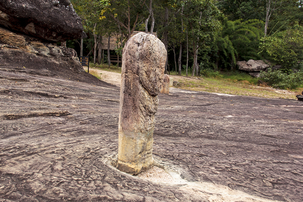
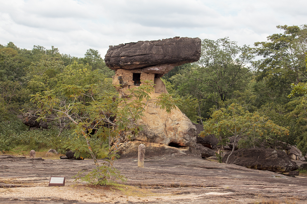
Hor nong U.
Hor Nang U in Phu Phrabat is an imposing, slightly sloping rock column with a mushroom-like shape, which reaches a height of 10 meters. On top rests a large, thick boulder measuring five by seven meters. People have modified the column by building a stone wall under the top rock. This created a room with a small window. This gives the impression of an observatory. Inside this rock shelter you will find prehistoric rock paintings with geometric patterns, confirming that the column was already in use in prehistoric times. Later modifications included placing boundary stones around the column and expanding the chamber, making it a demarcated sacred area. The boundary stones are placed in eight directions in a single concentric row, of which 7 are currently still upright.
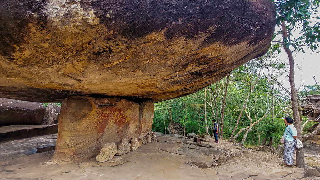
Other strange rock formations can be found in the khao Phu Laenkha national park and Si Nan National park.
© Lode Engelen. Photos taken on 31.10.2023 in Banphue Udon
Did you find this piece interesting? Share it with your friends so they can read it too!